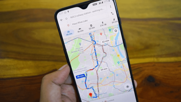
Google’s popular service Google Maps is not just a navigation app that guides people from one place to another.
It helps to reach the destination as quickly as possible and also informs about traffic related details, parking possibilities and other things on the way.
And, recently, Google has updated its map app and provided new features. In other words, the air quality of any place can be known from Google Maps.
From Google Maps, users can get information about the air quality of their surroundings or the destination they are going to. This feature, which was announced a year ago, was launched by Google Maps only a few months ago.
How to know air quality and air pollution level from google map? For this, first you need to download the latest version of Google Maps app from Playstore or App Store. Then:
- Open the Google Maps app on your smartphone or tablet
- Tap on the Layers icon on the right side of the app
- Then select the Air Quality layer. This way you can see the air quality in your area. With the help of the agency

